Tropical threat in Bay of Bengal in late May
By
Jason Nicholls, AccuWeather senior meteorologist &
Lead International Forecaster
Updated May 16, 2021 7:49 PM EST
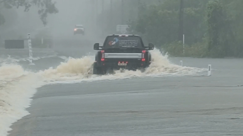
This blog entry will be taking a look at the longer-range tropical threat in the Bay of Bengal, but in the short term the most immediate threat to Covid-19 ravaged India remains Very Severe Cyclonic Storm Tauktae. For the latest on the threat from Tauktae see our story at https://www.accuweather.com/en/hurricane/tropical-cyclone-impacting-covid-19-ravaged-india/947512
Meanwhile, in the southern Indian Ocean, AccuWeather.com meteorologists are watching a tropical low, Invest 90S, near Diego Garcia. The low can gradually strengthen as it drifts toward the southwest over the next few days, then may stall for a time around midweek before turning toward the northwest late in the week. There is a low chance for Invest 90S to become a depression or moderate tropical storm later this week, but regardless, this system will be a minimal threat to land. However, notice on the satellite image above that the Bay of Bengal is currently quiet with only very limited convection, mainly around Sumatra and the Andaman Sea.
The quiet pattern over the Bay of Bengal is expected to change this week as the MJO pulse that helped set the stage for Tauktae to form near Lakshadweep last Friday night is expected to re-strengthen in the coming days as it pushes toward the eastern Indian Ocean and the Maritime Continent. This atmospheric pulse is expected to initially result in convection increasing over the Bay of Bengal later this week, similar to what we saw off Somalia around the weekend of May 8 and 9.
Another atmospheric wave, known as an equatorial Rossby Wave, is also forecast to push into the Bay of Bengal late in the week or weekend. The combination of the MJO and Rossby Wave forcing can lead to conditions becoming favorable for a low to spin up over the Bay of Bengal over the weekend. The exact location for any low formation remains unclear, but the favored area looks to be in the vicinity of the Nicobar and Andaman islands. If a low forms in this area, very warm water in the Bay of Bengal and light to moderate wind shear should allow for strengthening in the last full week of May.
As a result, AccuWeather.com meteorologists are going with a low chance for development in the highlighted, below, during the week of May 23. There is some uncertainty how the steering flow will shape up this far in advance, so regions from northeast India and Bangladesh to Myanmar should closely monitor the situation.
Stay tuned to AccuWeather.com for the latest on the tropical threats around India over the next couple of weeks.
Report a Typo


Weather Blogs / Global weather
Tropical threat in Bay of Bengal in late May
By Jason Nicholls, AccuWeather senior meteorologist & Lead International Forecaster
Updated May 16, 2021 7:49 PM EST
This blog entry will be taking a look at the longer-range tropical threat in the Bay of Bengal, but in the short term the most immediate threat to Covid-19 ravaged India remains Very Severe Cyclonic Storm Tauktae. For the latest on the threat from Tauktae see our story at https://www.accuweather.com/en/hurricane/tropical-cyclone-impacting-covid-19-ravaged-india/947512
Meanwhile, in the southern Indian Ocean, AccuWeather.com meteorologists are watching a tropical low, Invest 90S, near Diego Garcia. The low can gradually strengthen as it drifts toward the southwest over the next few days, then may stall for a time around midweek before turning toward the northwest late in the week. There is a low chance for Invest 90S to become a depression or moderate tropical storm later this week, but regardless, this system will be a minimal threat to land. However, notice on the satellite image above that the Bay of Bengal is currently quiet with only very limited convection, mainly around Sumatra and the Andaman Sea.
The quiet pattern over the Bay of Bengal is expected to change this week as the MJO pulse that helped set the stage for Tauktae to form near Lakshadweep last Friday night is expected to re-strengthen in the coming days as it pushes toward the eastern Indian Ocean and the Maritime Continent. This atmospheric pulse is expected to initially result in convection increasing over the Bay of Bengal later this week, similar to what we saw off Somalia around the weekend of May 8 and 9.
Another atmospheric wave, known as an equatorial Rossby Wave, is also forecast to push into the Bay of Bengal late in the week or weekend. The combination of the MJO and Rossby Wave forcing can lead to conditions becoming favorable for a low to spin up over the Bay of Bengal over the weekend. The exact location for any low formation remains unclear, but the favored area looks to be in the vicinity of the Nicobar and Andaman islands. If a low forms in this area, very warm water in the Bay of Bengal and light to moderate wind shear should allow for strengthening in the last full week of May.
As a result, AccuWeather.com meteorologists are going with a low chance for development in the highlighted, below, during the week of May 23. There is some uncertainty how the steering flow will shape up this far in advance, so regions from northeast India and Bangladesh to Myanmar should closely monitor the situation.
Stay tuned to AccuWeather.com for the latest on the tropical threats around India over the next couple of weeks.
Report a Typo