Go Back
  • For Business
  • |
  • Warnings
  • Data Suite
  • Forensics
  • Advertising
  • Superior Accuracy™
Severe storms on repeat for Plains to mid-Atlantic this week. See the timing. Chevron right
A new heat dome is set to expand across the central and eastern US. Click for the forecast. Chevron right

Columbus, OH

85°F
Location Chevron down
Location News Videos
Use Current Location
Recent

Columbus

Ohio

85°
No results found.
Try searching for a city, zip code or point of interest.
Get Premium+
Create Your Account Unlock extended daily and hourly forecasts — all with your free account.
Let's Go Chevron right
Have an account already? Log In
settings
Help
Columbus, OH Weather
Today WinterCast Local {stormName} Tracker Hourly 10-Day Radar MinuteCast® Monthly Air Quality Health & Activities

Around the Globe

Hurricane Tracker

Severe Weather

Radar & Maps

News

News & Features

Astronomy

Business

Climate

Health

Recreation

Sports

Travel

For Business

Warnings

Data Suite

Forensics

Advertising

Superior Accuracy™

Video

Winter Center

Top Stories Severe Weather Hurricane Center Astronomy Heat Alert Climate Recreation Trending Today Health In Memoriam Case Studies Blogs & Webinars

Weather Blogs / Western US weather

Three Inside Sliders This Week

By Staff

Published Feb 13, 2012 2:28 PM EDT | Updated Feb 14, 2012 1:05 PM EDT

Copied

Three rather compact inside sliders will move from northwest to southeast across the West Coast this week. None of these storms will be big precipitation producers and will only have a small impact on areas that have had a very dry winter so far. However, there will be precipitation, both rain and snow, that will affect what you wear and how you travel.

The first of these storms has been moving south through the Central Valley of California today and will move into Arizona and New Mexico tomorrow into tomorrow night.

Monday Evening GFS:

The second low comes out of the Gulf of Alaska and moves through the Northwest states tomorrow with rain and snow showers, then south across California Wednesday then into Arizona by Thursday.

Wednesday Morning GFS:

After that storm, there will be more of a break between number two and three. In fact for Southern California, the Central Valley and the Desert Southwest, Storm number three is likely to move into the Northwest Saturday, affect portions of California Saturday night and Sunday before moving into the southern Rockies Monday.

Sunday Morning GFS:

The greatest amount of precipitation will be just ahead of and to the right of the low itself. The mountains and even some of the high desert areas of the Great Basin will get some snow with of course the greatest amounts over the mountains. This snow is sorely needed for both the ski resorts and for the water it will produce later this year. In lower elevations, there will be rain showers and, near where the low moves, even a thunderstorm. Due to low freezing levels expect any thunderstorm to contain small hail.

Though these storms are not drought-busters by a long shot, it is good to see some real winter weather in a winter that hasn’t had much in the Southwest.
Report a Typo

Weather News

video

Why Saharan dust can limit tropical development in the Atlantic

Jul. 8, 2026
Hurricane

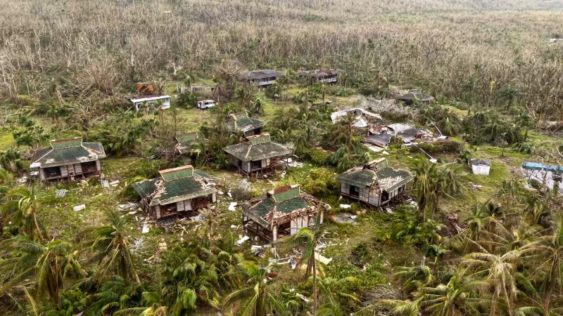
Super Typhoon Bavi could unleash 200 mph wind gusts on Taiwan

Jul. 9, 2026
video

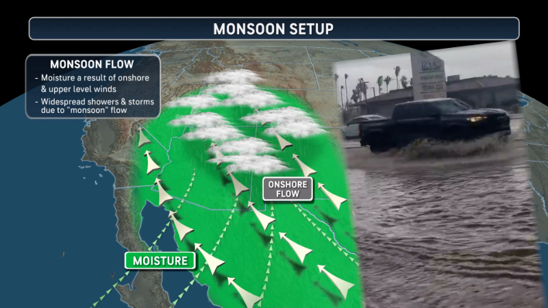
What exactly is the monsoon in the American Southwest?

Jul. 8, 2026
Show more Show less Chevron down

Topics

Top Stories

Severe Weather

Hurricane Center

Astronomy

Heat Alert

Climate

Recreation

Trending Today

Health

In Memoriam

Case Studies

Blogs & Webinars

ABOUT THIS BLOG
Western US weather
Brian Thompson
The Western US Weather blog provides regular updates and analysis on western U.S. weather.
  • Astronomy
    with Dave Samuhel
  • Canadian weather
    with Brett Anderson
  • Global climate change
    with Brett Anderson
  • Global weather
    with Jason Nicholls
  • Northeast US weather
    with Elliot Abrams
  • Plume Labs on Air Quality
    with Tyler Knowlton
  • RealImpact of weather
    with Dr. Joel N. Myers
  • WeatherMatrix
    with Jesse Ferrell
  • Western US weather
    with Brian Thompson

Featured Stories

Super Typhoon Bavi leaves trail of destruction

1 day ago 0:36

Recreation

Neil the Seal returns to Tasmania

19 hours ago

Weather News

At least 750 structures destroyed by Colorado wildfire, images show

20 hours ago

Weather News

Venezuelan cemetery expands burials for earthquake victims

2 hours ago

AccuWeather Weather Blogs Three Inside Sliders This Week
Company
Proven Superior Accuracy™ About AccuWeather Digital Advertising Careers Press Contact Us
Products & Services
For Business For Partners For Advertising AccuWeather APIs AccuWeather Connect Personal Weather Stations
Apps & Downloads
iPhone App Android App See all Apps & Downloads
Subscription Services
AccuWeather Premium AccuWeather Professional
More
AccuWeather Ready Business Health Hurricane Leisure and Recreation Severe Weather Space and Astronomy Sports Travel Weather News Winter Center
Company
Proven Superior Accuracy™ About AccuWeather Digital Advertising Careers Press Contact Us
Products & Services
For Business For Partners For Advertising AccuWeather APIs AccuWeather Connect Personal Weather Stations
Apps & Downloads
iPhone App Android App See all Apps & Downloads
Subscription Services
AccuWeather Premium AccuWeather Professional
More
AccuWeather Ready Business Health Hurricane Leisure and Recreation Severe Weather Space and Astronomy Sports Travel Weather News Winter Center
© 2026 AccuWeather, Inc. "AccuWeather" and sun design are registered trademarks of AccuWeather, Inc. All Rights Reserved.
Terms of Use | Privacy Policy | Cookie Policy | About Your Privacy Do Not Sell or Share My Personal Information | Data Sources

...

...

...