Edouard became a tropical storm late Monday night and is expected to make landfall on upper Texas coast Tuesday, spreading heavy rain across the area through Wednesday. Flooding in streets, poor drainage areas and other low-lying locations may develop quickly from Tuesday to Wednesday around Houston during periods of intense rainfall, leading to hazardous travel at times. Flood-prone neighborhoods, small streams and urban areas will be most susceptible to rising water levels, with localized flash flooding possible where the heaviest rain occurs, especially in the eastern suburbs and along the coast.
This storm is rated less than one on the AccuWeather RealImpact™ Scale for Hurricanes due to flooding downpours and gusty winds. The RealImpact™ Scale is a 6-point scale, with ratings of less than one and 1 to 5, that accounts for not only wind gusts, but also flooding rain, storm surge, and economic damage and loss.
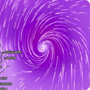
Wind Flow
This interactive map provides a visual representation of wind speed and direction over the next 24 hours
Maximum Sustained Winds
The projected maximum sustained winds of an active tropical system
Maximum Wind Gusts
The projected maximum wind gusts of an active tropical system