Rainfall from Isaias is expected across the Philadelphia area from Sunday to Sunday night. Flooding of streets, poor-drainage areas and other low-lying locations may occur during periods of heavier rainfall, possibly disrupting travel. Flood-prone neighborhoods, small streams and urban locations will be most susceptible to flash flooding. Locally gusty winds can accompany the rain for a time and could cause sporadic power outages.
Persistent southeast winds this weekend can lead to above normal tides at the New Jersey and Delaware beaches, as well as the Delaware Bay and the tidal portion of the Delaware River. Minor flooding is possible at times of high tide.
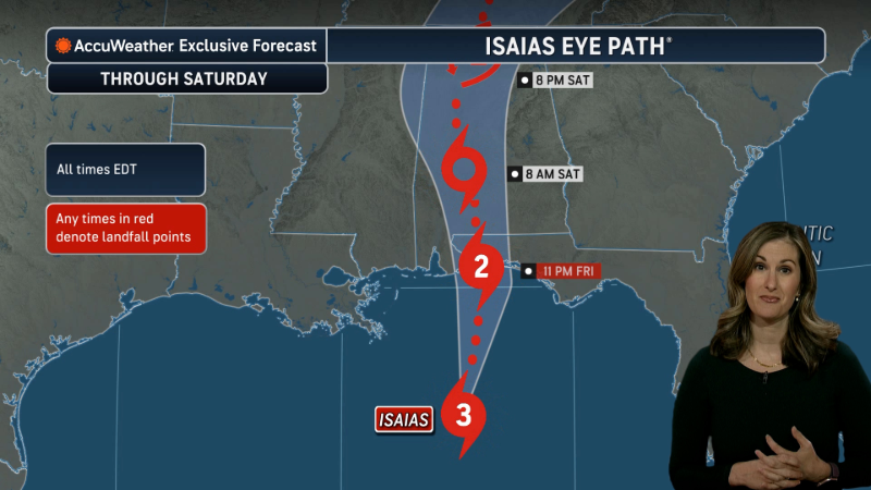
Due to flooding rainfall, storm surge and damaging winds, Isaias is a 2 on the AccuWeather RealImpact™ Scale for Hurricanes in the United States. The RealImpact™ Scale is a 6-point scale, with ratings of less than one and 1 to 5, that accounts for not only wind speed, but also flooding rain, storm surge and economic damage and loss.
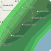
Hourly Wind Speeds
Sunday, 12 PM - Monday, 8 AMWind Flow
This interactive map provides a visual representation of wind speed and direction over the next 24 hours
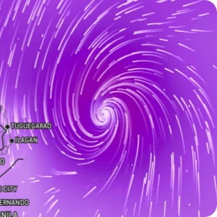
Maximum Sustained Winds
The projected maximum sustained winds of an active tropical system
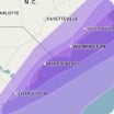
Maximum Wind Gusts
The projected maximum wind gusts of an active tropical system