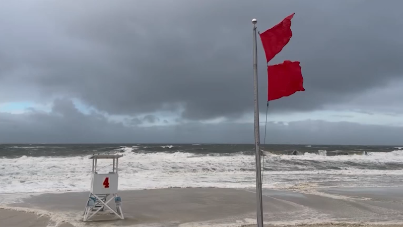
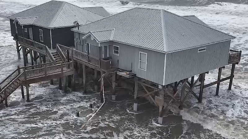
Tropical Storm Bertha will cross southern Louisiana on Wednesday evening, before moving back over the northern Gulf later Wednesday night, prior to approaching Texas on Thursday. Some rain from Bertha will reach Houston on Thursday and may linger into early Friday. While the heaviest rain is expected well to the east of Houston, enough rain could still fall on the metro area, potentially leading to flash flooding. Tropical storm-force wind gusts of 40-60 mph could occur along the coast from Port Arthur to Galveston, Texas, with sporadic power outages possible. There may also be a waterspout or brief tornado near the coast. Conditions will improve on Saturday as Bertha moves inland over Texas.
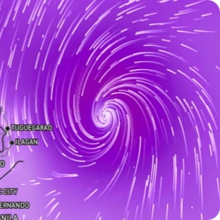
Wind Flow
This interactive map provides a visual representation of wind speed and direction over the next 24 hours
Maximum Sustained Winds
The projected maximum sustained winds of an active tropical system
Maximum Wind Gusts
The projected maximum wind gusts of an active tropical system